TechnicalGIS Environmental News Desk
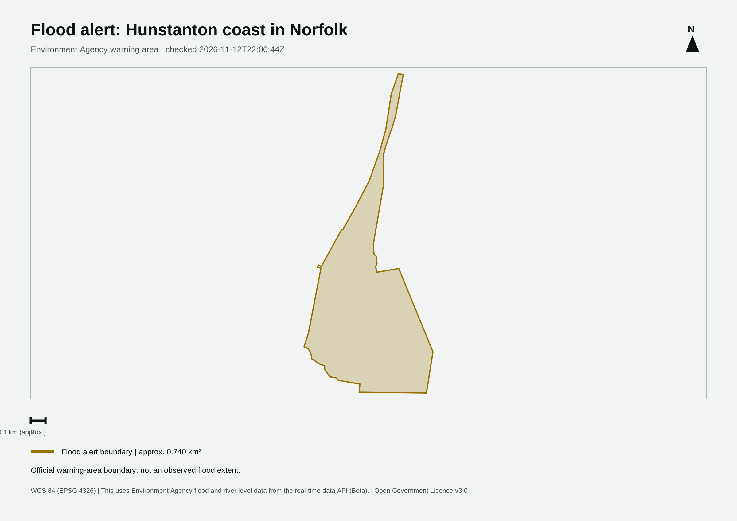
The Environment Agency reported a flood alert for Hunstanton coast in Norfolk in its 12 November 2026 update.
Revision 1 · Published 2026-11-12T22:10:36Z · Status: current
Map meaning: The area is an approximation of the official warning-area boundary, not a measurement of flooded land, people affected or damage.
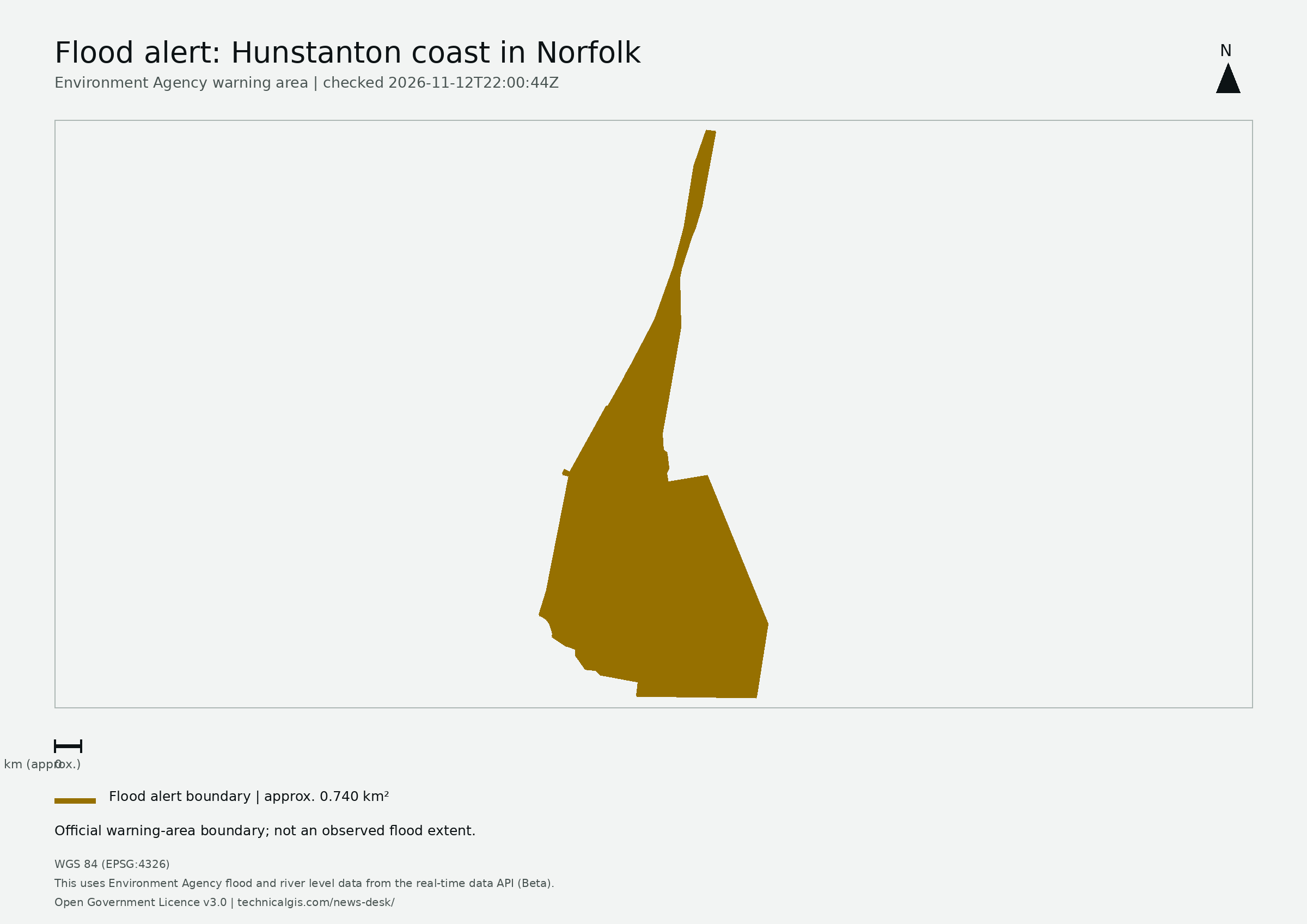
High tides and forecast weather conditions throughout the evening may lead to flooding.
Flooding is possible from 5:45pm to 9:45pm on Thursday 12 November.
Locations most affected will be low-lying land and roads near rivers or on the coast, with spray being seen on the seafront paths. Flood gates in the area will be closed by the Local Authority which will make access difficult. Please take notice of the Flood Sign at top of South Beach Road. The detailed forecast is for a peak level at King's Lynn of 3.86mAODN at 7:45pm on 12 November, which is 0.6m above tide tables, Wind Force 6, Northerly. No further high tides are expected over the coming days.
We are closely monitoring the situation .
Avoid beaches and coastal promenades, which may be flooded.
This message will be updated by 9:30AM on Friday 13 November or as the situation changes.
This uses Environment Agency flood and river level data from the real-time data API (Beta). Data documentation · Open Government Licence v3.0
This first monitoring area follows the Environment Agency feed in England. Wales, Scotland and Northern Ireland are not covered by this feed.
Revision 1 (2026-11-12T22:10:36Z) · Revision 3 (2026-11-13T12:14:27Z)