TechnicalGIS Environmental News Desk
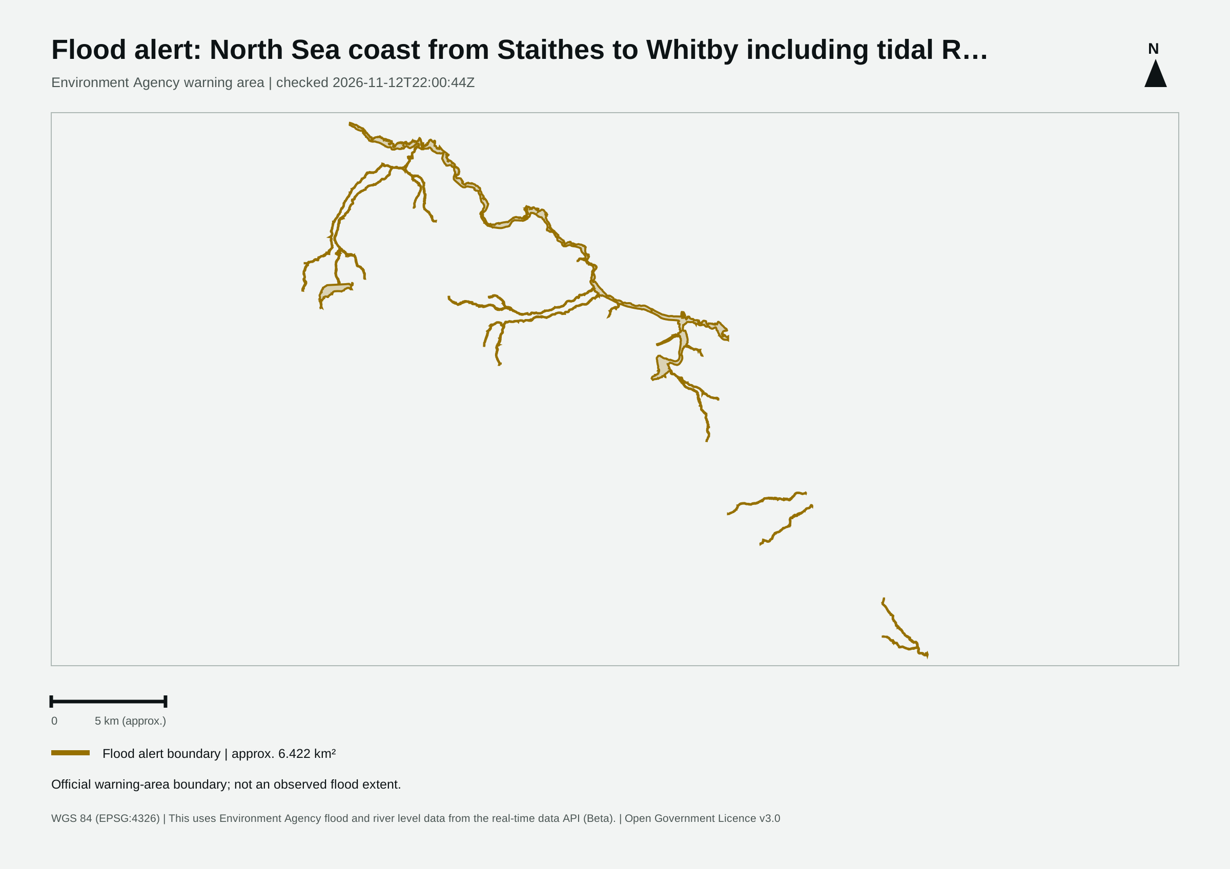
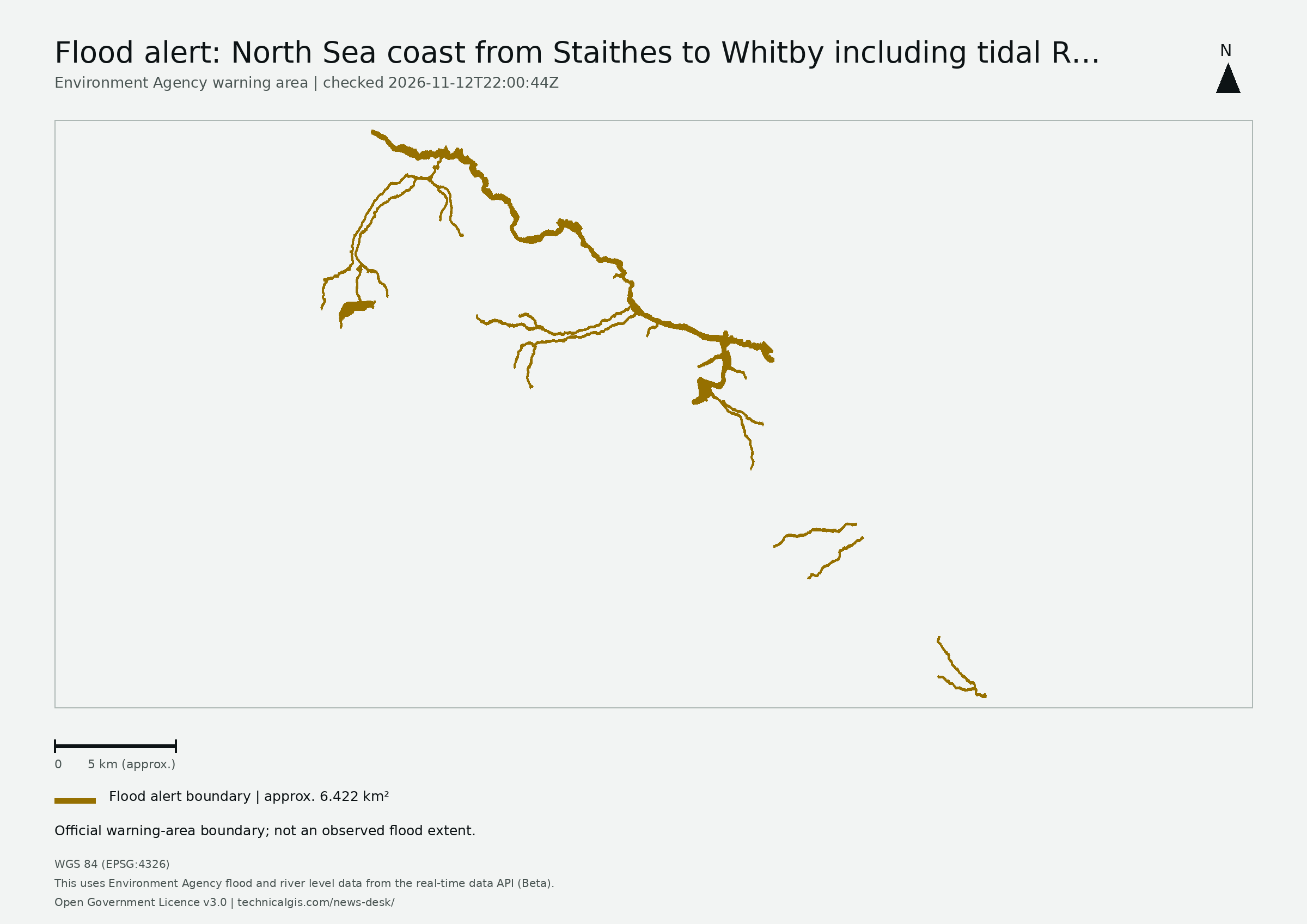
The Environment Agency reported a flood alert for North Sea coast from Staithes to Whitby including tidal River Esk in its 12 November 2026 update.
Revision 1 · Published 2026-11-12T22:10:36Z · Status: current
Map meaning: The area is an approximation of the official warning-area boundary, not a measurement of flooded land, people affected or damage.
You've signed up to get flood alerts.
A flood alert has been issued by the Environment Agency.
Flood alert in force: North Sea coast from Staithes to Whitby including tidal River Esk
Flooding is possible for: The North Sea coast from Staithes to Whitby including Sandsend and tidal River Esk
High tides this evening may lead to flooding.
Flooding is possible from 19:15 to 21:15 on 12/11/2026.
Locations most affected will be The North Sea coast from Staithes to Whitby including Sandsend and tidal River Esk
We are closely monitoring the situation .
Take care and avoid walking, cycling or driving through flood water.
This message will be updated by 9:00AM on Friday 13 November or as the situation changes.
This uses Environment Agency flood and river level data from the real-time data API (Beta). Data documentation · Open Government Licence v3.0
This first monitoring area follows the Environment Agency feed in England. Wales, Scotland and Northern Ireland are not covered by this feed.
Revision 1 (2026-11-12T22:10:36Z) · Revision 4 (2026-11-13T12:15:49Z)