TechnicalGIS Environmental News Desk
Revision 1 · Published 2026-11-12T22:10:37Z · Status: current
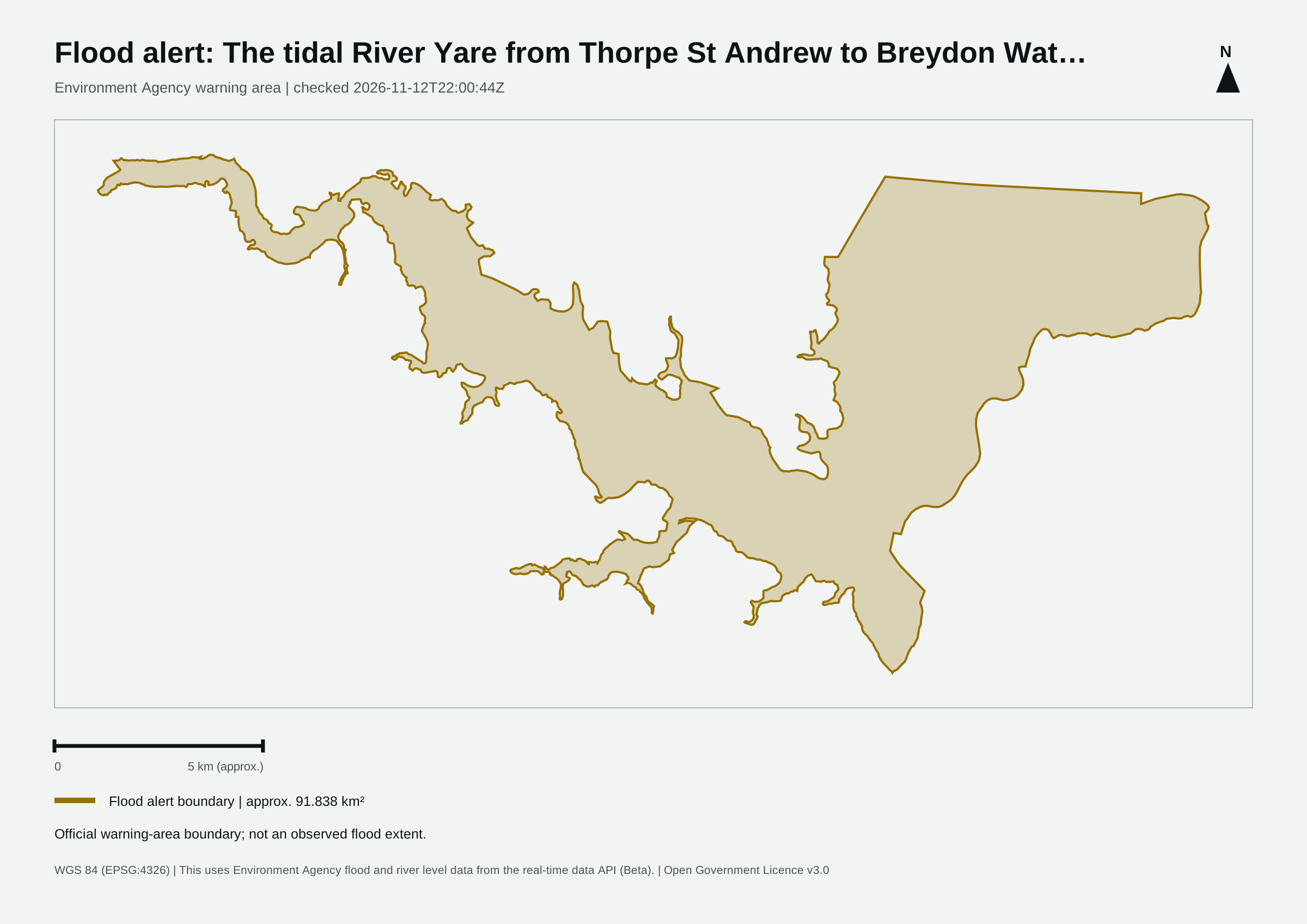
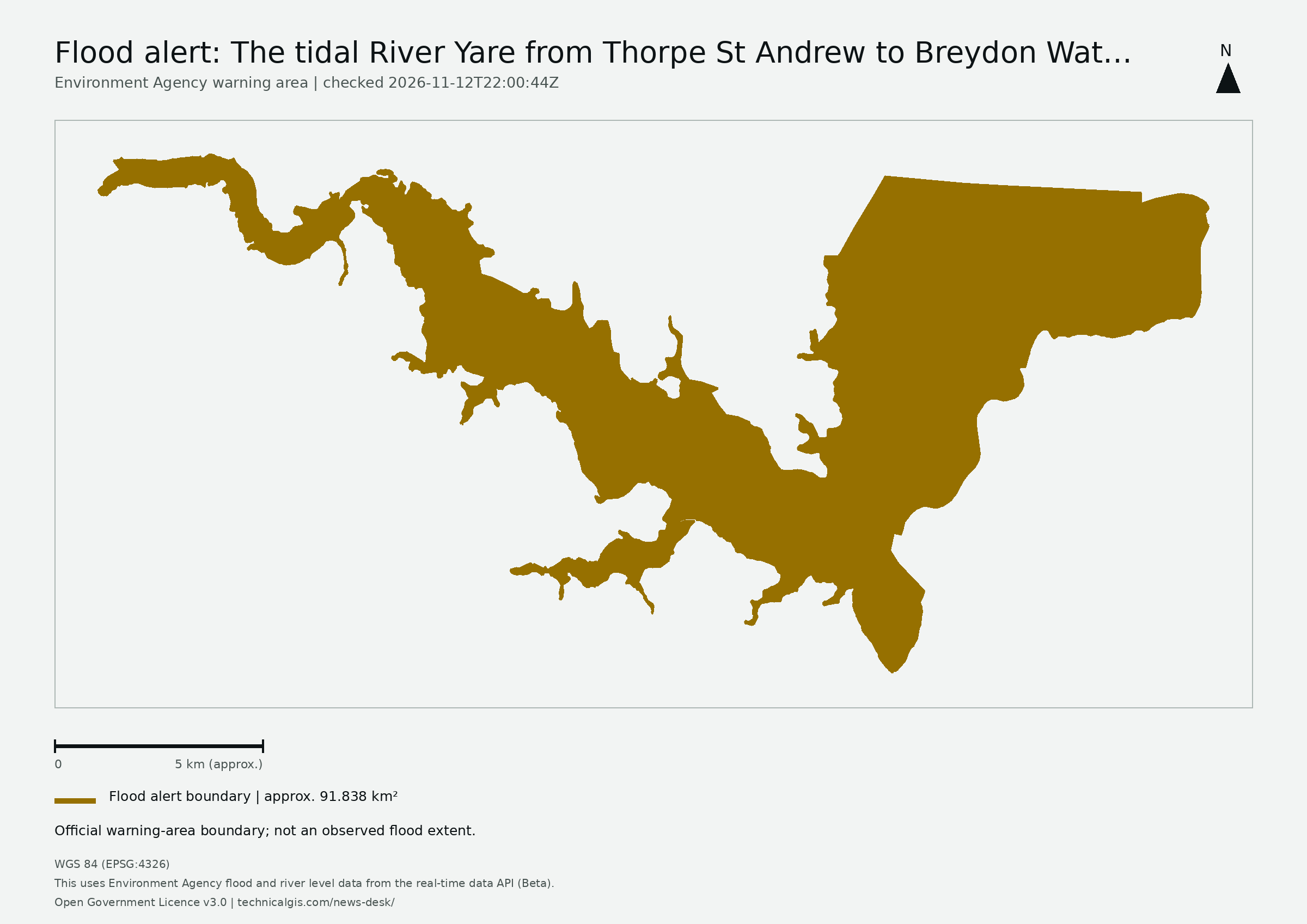
Map meaning: The area is an approximation of the official warning-area boundary, not a measurement of flooded land, people affected or damage.
High tides today may lead to flooding.
Flooding is possible from 12 noon today, Thursday 12 November.
We expect to see high water levels in Brundall and Reedham riverside areas. Levels can take several hours to peak. River levels will remain high over the next couple of days.
We are closely monitoring the situation .
Take care and avoid walking, cycling or driving through flood water.
This message will be updated by 10:00AM on Friday 13 November or as the situation changes.
This uses Environment Agency flood and river level data from the real-time data API (Beta). Data documentation · Open Government Licence v3.0
This first monitoring area follows the Environment Agency feed in England. Wales, Scotland and Northern Ireland are not covered by this feed.
Revision 1 (2026-11-12T22:10:37Z) · Revision 3 (2026-11-13T12:15:51Z)