Sourcing data for GIS projects can often involve a lengthy search, especially for territories around the world that you may not be familiar with. Find a curated list of GIS data sources below.
To report broken links or if you provide a data source that may be useful to the GIS community, please use our contact form here.
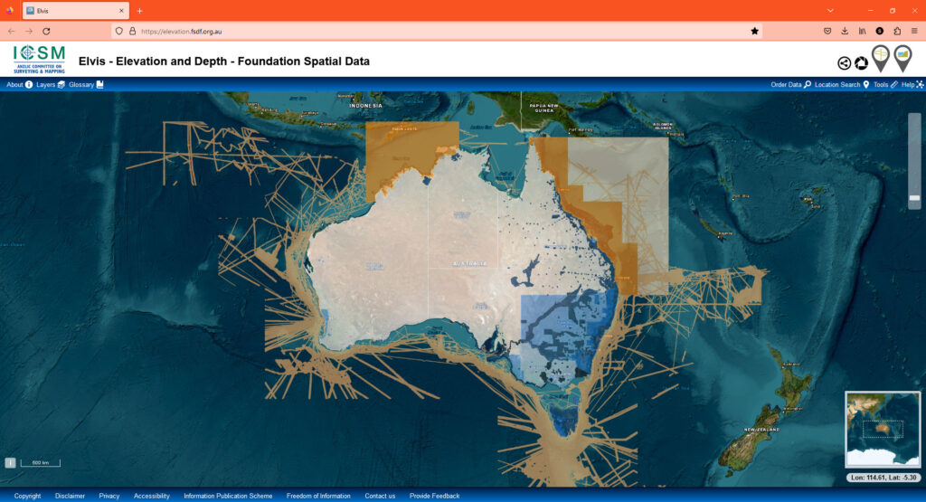
Taken from the ELVIS GIS data platform:
“Elvis Elevation and Depth is a cloud-based system allowing users to easily discover and obtain Australian elevation and bathymetry data available within their area of interest. It is developed as a partnership between participating agencies under the Intergovernmental Committee on Surveying and Mapping (ICSM) and brings together open data from Commonwealth, state and territory governments, making it accessible from a convenient central source. Data can be quickly accessed through Elvis to support efficient planning, research and decision-making by government, industry, research communities and any others requiring the data.”
| Cookie | Duration | Description |
|---|---|---|
| cookielawinfo-checkbox-analytics | 11 months | This cookie is set by GDPR Cookie Consent plugin. The cookie is used to store the user consent for the cookies in the category "Analytics". |
| cookielawinfo-checkbox-functional | 11 months | The cookie is set by GDPR cookie consent to record the user consent for the cookies in the category "Functional". |
| cookielawinfo-checkbox-necessary | 11 months | This cookie is set by GDPR Cookie Consent plugin. The cookies is used to store the user consent for the cookies in the category "Necessary". |
| cookielawinfo-checkbox-others | 11 months | This cookie is set by GDPR Cookie Consent plugin. The cookie is used to store the user consent for the cookies in the category "Other. |
| cookielawinfo-checkbox-performance | 11 months | This cookie is set by GDPR Cookie Consent plugin. The cookie is used to store the user consent for the cookies in the category "Performance". |
| viewed_cookie_policy | 11 months | The cookie is set by the GDPR Cookie Consent plugin and is used to store whether or not user has consented to the use of cookies. It does not store any personal data. |