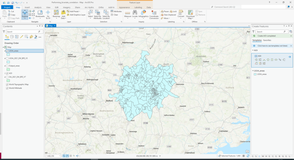
Areas selected using the 'Select by Location' tool.

Performing Bivariate Correlation Analysis using Census and Crime Data

This tutorial aims to explore the relationship between crime and socio-economic status using the latest available census data in England and Wales, United Kingdom using ArcGIS Pro 2.9.1. A future tutorial will demonstrate the use of CrimeStat III, a freely available spatial statistics program for the analysis of crime incident locations. As a foreword to

Performing Bivariate Correlation Analysis using Census and Crime Data Read More »

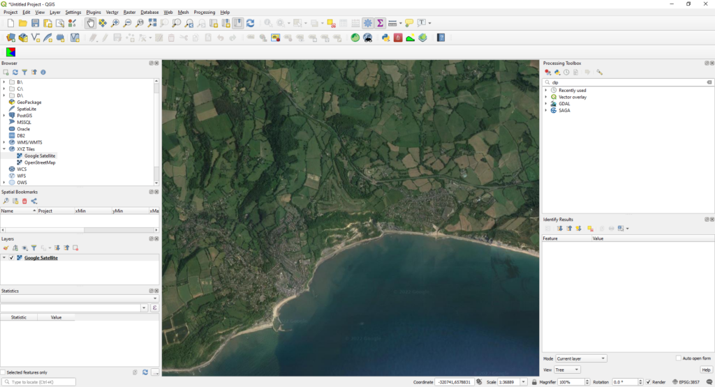
Screenshot showing a Google Satellite basemap loaded using an area of interest on the south coast of England.

How to Add Google Maps and OpenStreetMap Layers to QGIS

Screenshot showing a Google Satellite basemap loaded using an area of interest on the south coast of England. Since the upgrade to QGIS3, the OpenLayers plugin is no longer available to install. To provide basemaps such as Google Maps, Google Satellite or OpenStreetMaps layers, simply connect to the correct Tile Map Service (TMS) according to

How to Add Google Maps and OpenStreetMap Layers to QGIS Read More »