Sourcing data for GIS projects can often involve a lengthy search, especially for territories around the world that you may not be familiar with. Find a curated list of GIS data sources below.
To report broken links or if you provide a data source that may be useful to the GIS community, please use our contact form here.
The Data Services Platform from Defra has been put in place to make environmental services data available to everyone. Data includes digital elevation, aerial optical imagery, LiDAR and bathymetry.
Download OSM data for England from Geofabrik.
http://download.geofabrik.de/europe/great-britain/england.html
Scottish Remote Sensing Portal – A portal containing geospatial data sourced from public sector organisations.
Download OSM data for Scotland from Geofabrik.
http://download.geofabrik.de/europe/great-britain/scotland.html
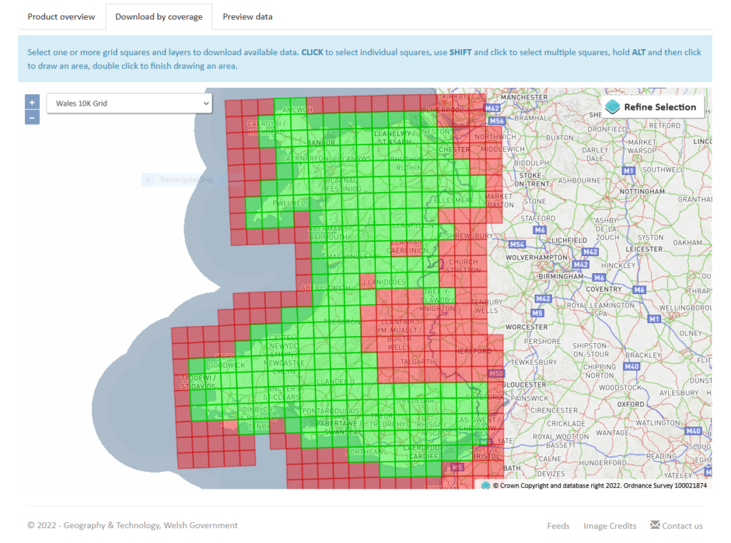
Lle – A geo-portal for Wales and a partnership between Natural Resource Wales and the Welsh Government.
Download OSM data for Wales from Geofabrik.
http://download.geofabrik.de/europe/great-britain/wales.html
| Cookie | Duration | Description |
|---|---|---|
| cookielawinfo-checkbox-analytics | 11 months | This cookie is set by GDPR Cookie Consent plugin. The cookie is used to store the user consent for the cookies in the category "Analytics". |
| cookielawinfo-checkbox-functional | 11 months | The cookie is set by GDPR cookie consent to record the user consent for the cookies in the category "Functional". |
| cookielawinfo-checkbox-necessary | 11 months | This cookie is set by GDPR Cookie Consent plugin. The cookies is used to store the user consent for the cookies in the category "Necessary". |
| cookielawinfo-checkbox-others | 11 months | This cookie is set by GDPR Cookie Consent plugin. The cookie is used to store the user consent for the cookies in the category "Other. |
| cookielawinfo-checkbox-performance | 11 months | This cookie is set by GDPR Cookie Consent plugin. The cookie is used to store the user consent for the cookies in the category "Performance". |
| viewed_cookie_policy | 11 months | The cookie is set by the GDPR Cookie Consent plugin and is used to store whether or not user has consented to the use of cookies. It does not store any personal data. |