Visualising a Cycle Track in 3D
Turning a GPX track of the Wharncliffe Woods cycle route into a 3D scene and elevation profile in ArcGIS Pro.
Key takeaways
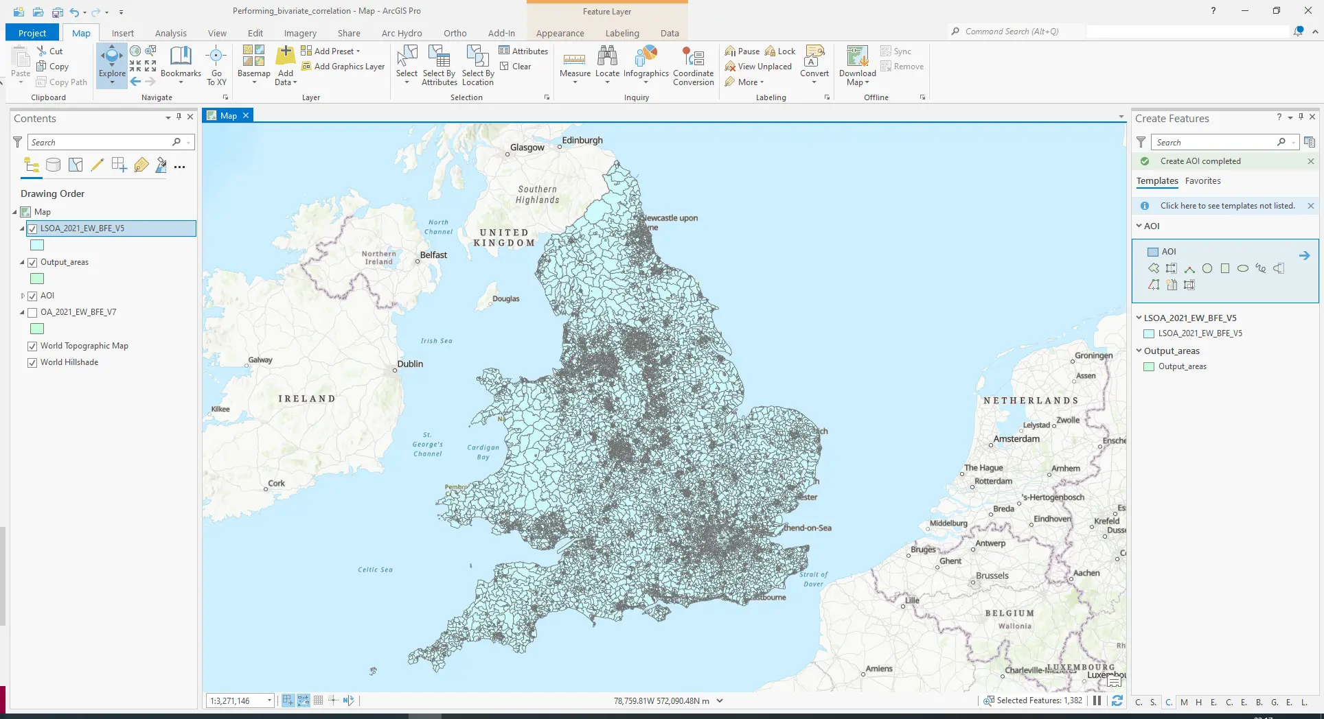
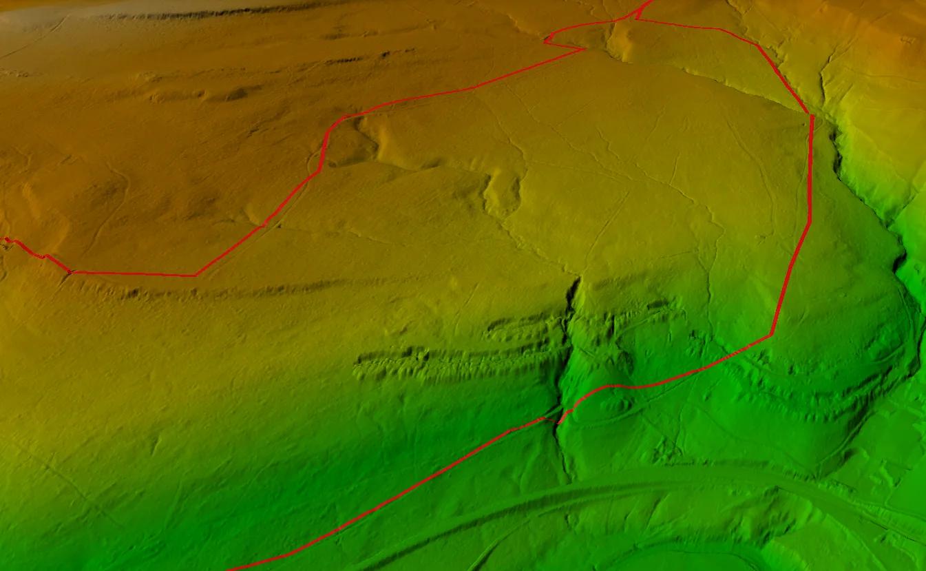
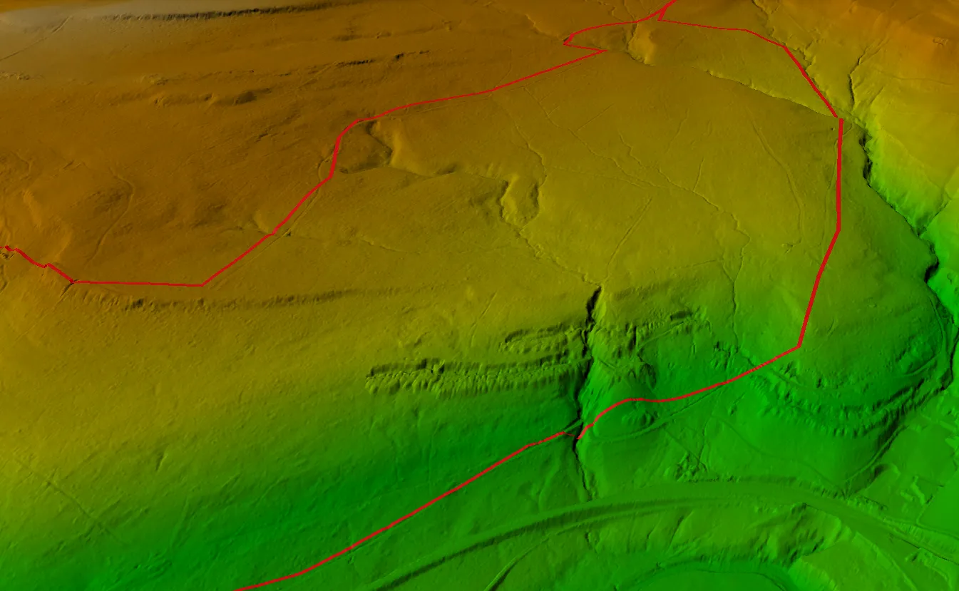
- A GPX track of the Wharncliffe Woods cycle route is visualised as a 3D scene in ArcGIS Pro 2.9.1.
- The same track is drawn as an elevation profile graph.
Software used:
- ArcGIS Pro 2.9.1 (https://www.esri.com/en-us/arcgis/products/arcgis-pro/resources)
Data used:
- Wharncliffe Woods GPX File (http://www.gps-routes.co.uk/routes/home.nsf/RoutesLinksCycle/wharncliffe-woods-walking-and-cycle-route#google_vignette)
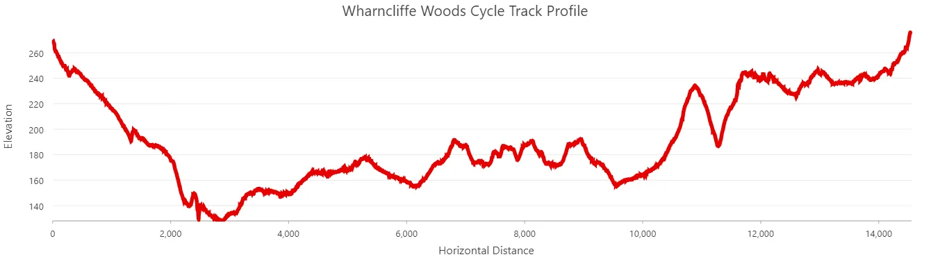 A profile graph of the elevation of Wharncliffe Woods cycle track.
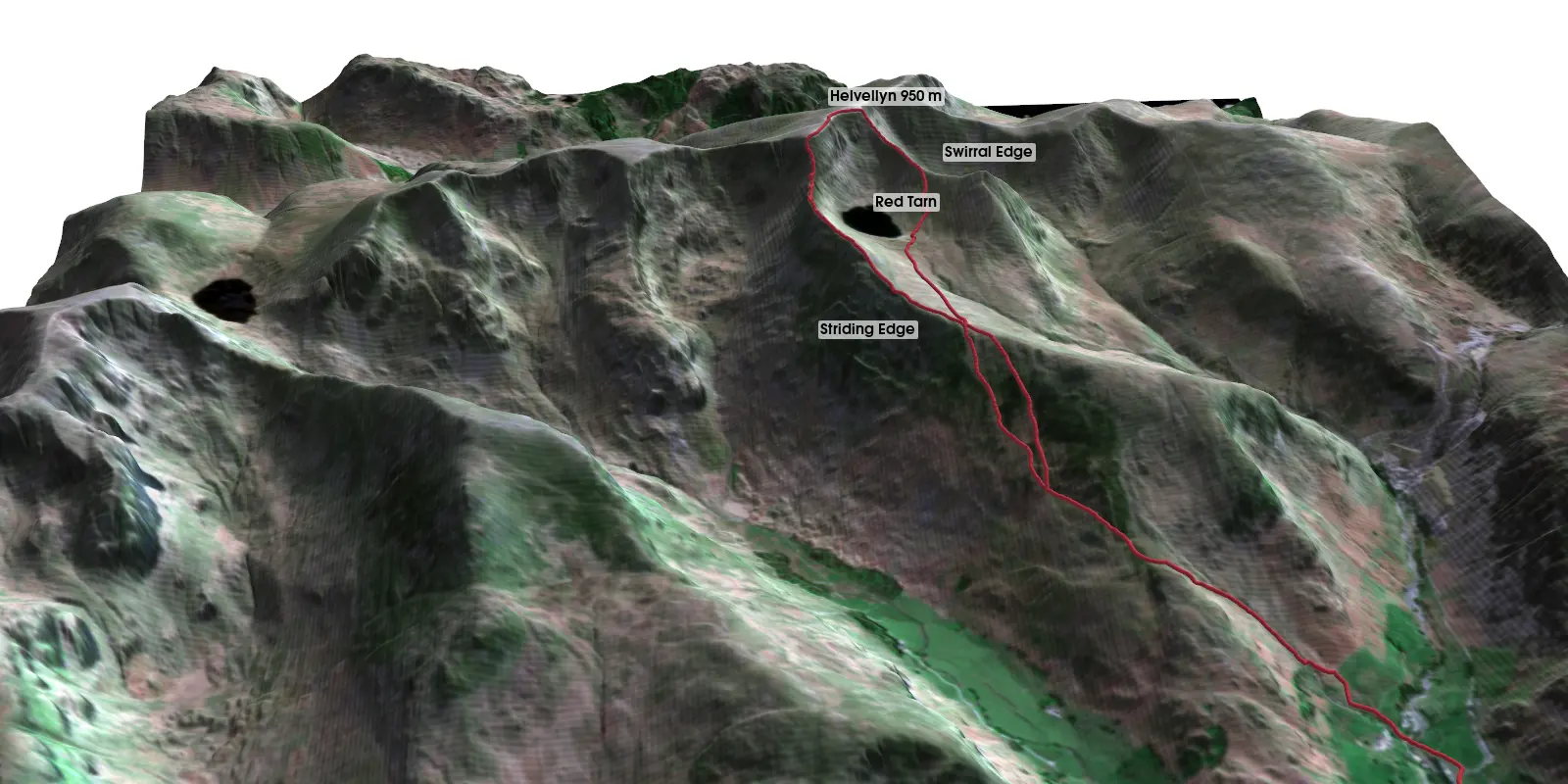
To build a similar scene in Python rather than ArcGIS Pro, see 3D terrain visualisation with PyVista, which drapes a GPX route over Helvellyn’s Striding Edge.
Key terms
- GPX
- GPS Exchange Format, an XML format for GPS tracks, routes and waypoints.
Data for this article
Licences and formats for each source are listed in the GIS data sources catalogue.