Hydrology

Catchments, flow routing, floods and surface water from DEMs and satellite imagery.

Tutorial Python

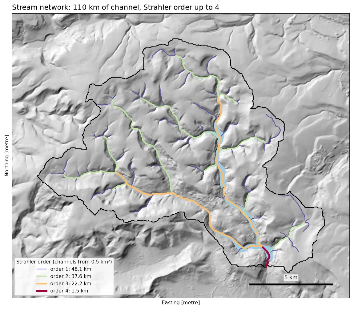
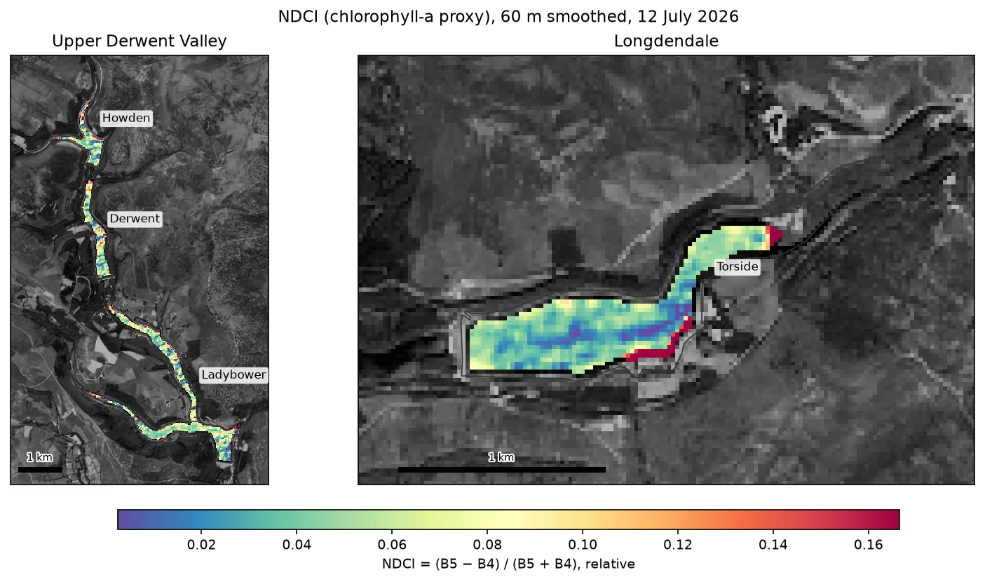
Watershed delineation in Python with pysheds: the River Derwent above Ladybower

Delineate a catchment and its stream network from a free DEM in Python with pysheds: fill pits and depressions, D8 flow direction, flow accumulation, snapping the pour point, catchment polygon and area, Strahler stream order and drainage density, all checked against the official NRFA boundary for the River Derwent at Yorkshire Bridge in the Peak District.
Intermediate 13 min read

Tutorial Python

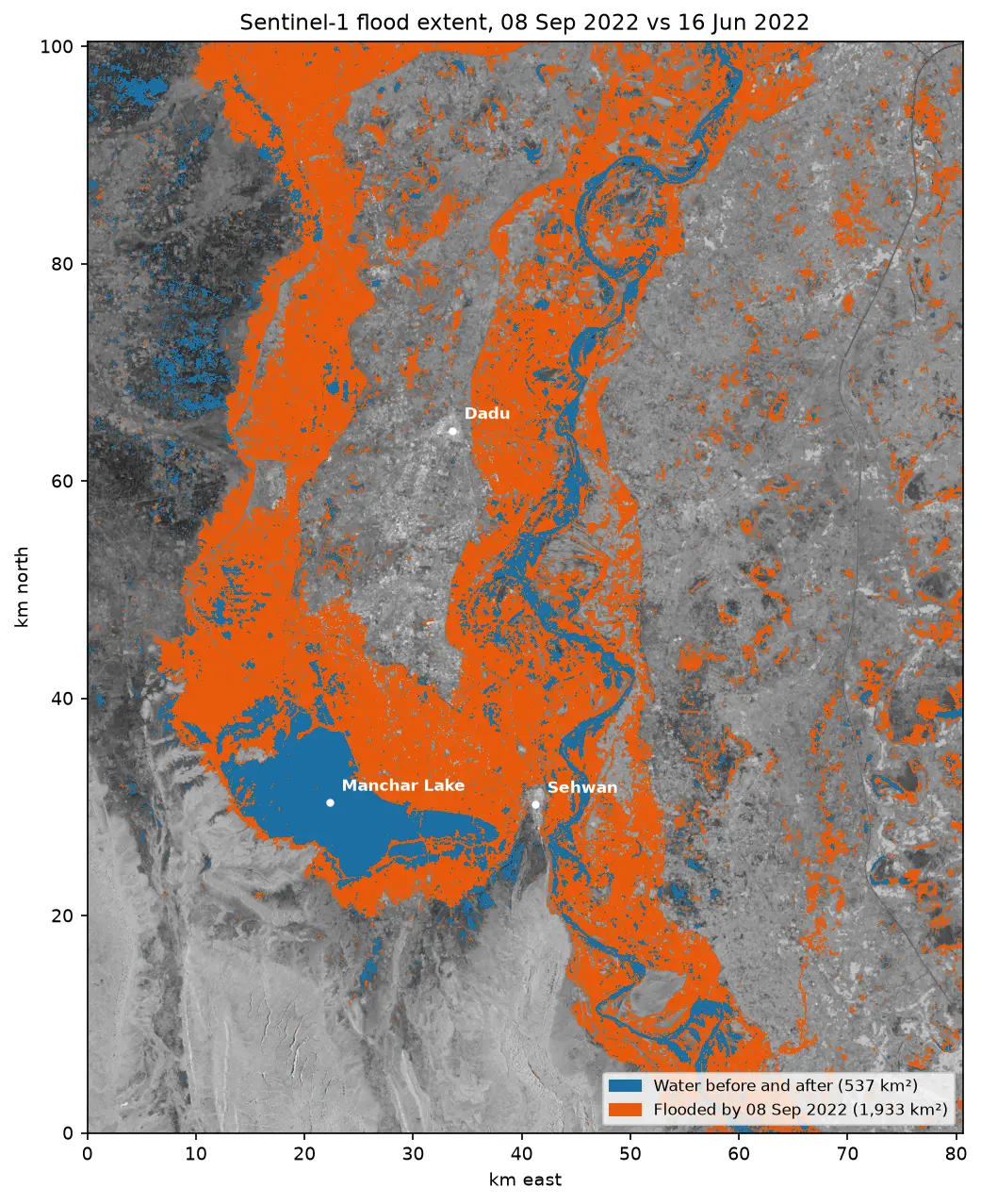
Sentinel-1 SAR flood mapping in Python: the 2022 Pakistan floods

Map the 2022 Sindh floods with free Sentinel-1 radar from the Microsoft Planetary Computer: convert backscatter to decibels, remove speckle with a Lee filter, pick a water threshold with Otsu's method, and measure the flood extent and how it receded over seven months.

Intermediate 10 min read

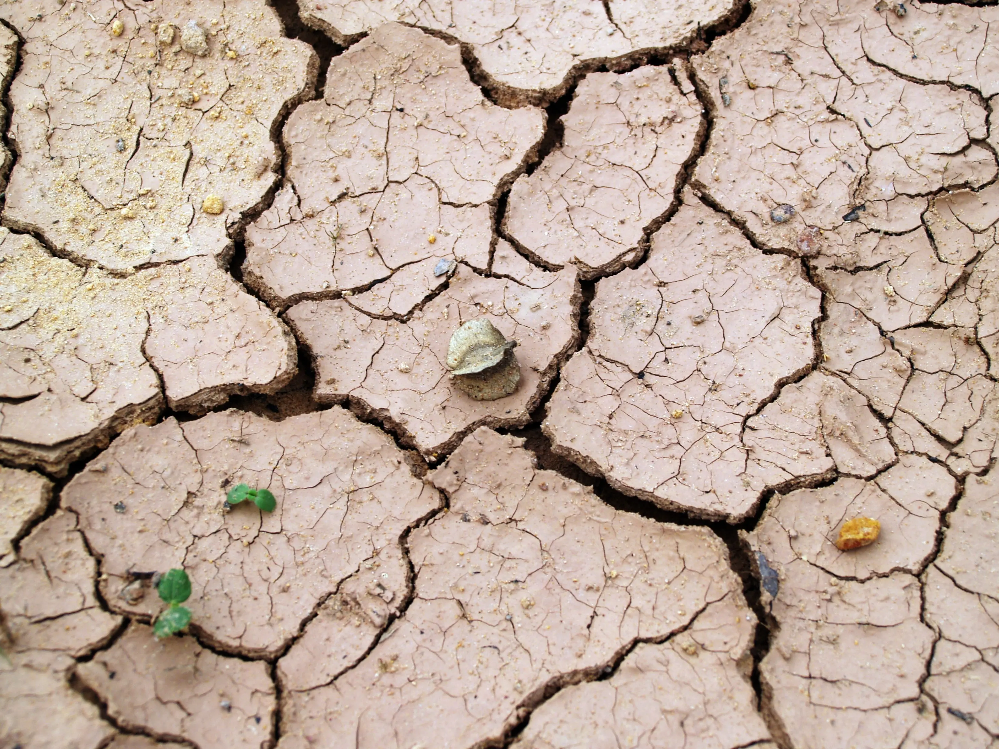
Cracked, dried mud on Lake Mead's exposed lake bed during the 2022 drought.

Article Remote Sensing

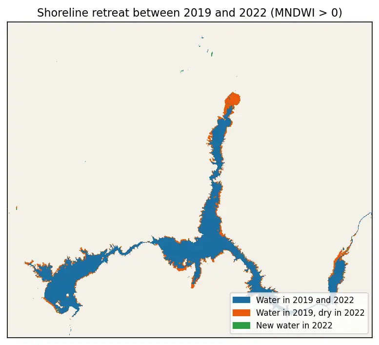
Monitoring Lake Mead Drought

A look at the dramatic fall in Lake Mead's water level during the 2022 drought.

1 min read