3D

Terrain models, 3D scenes and printing elevation data.

Tutorial Python

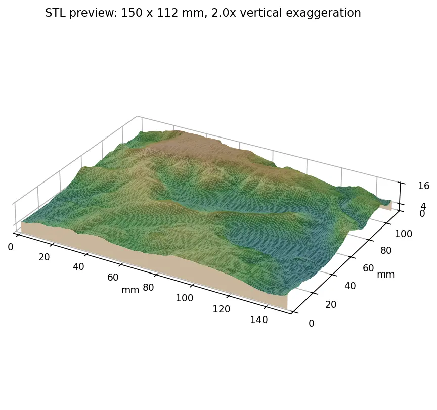
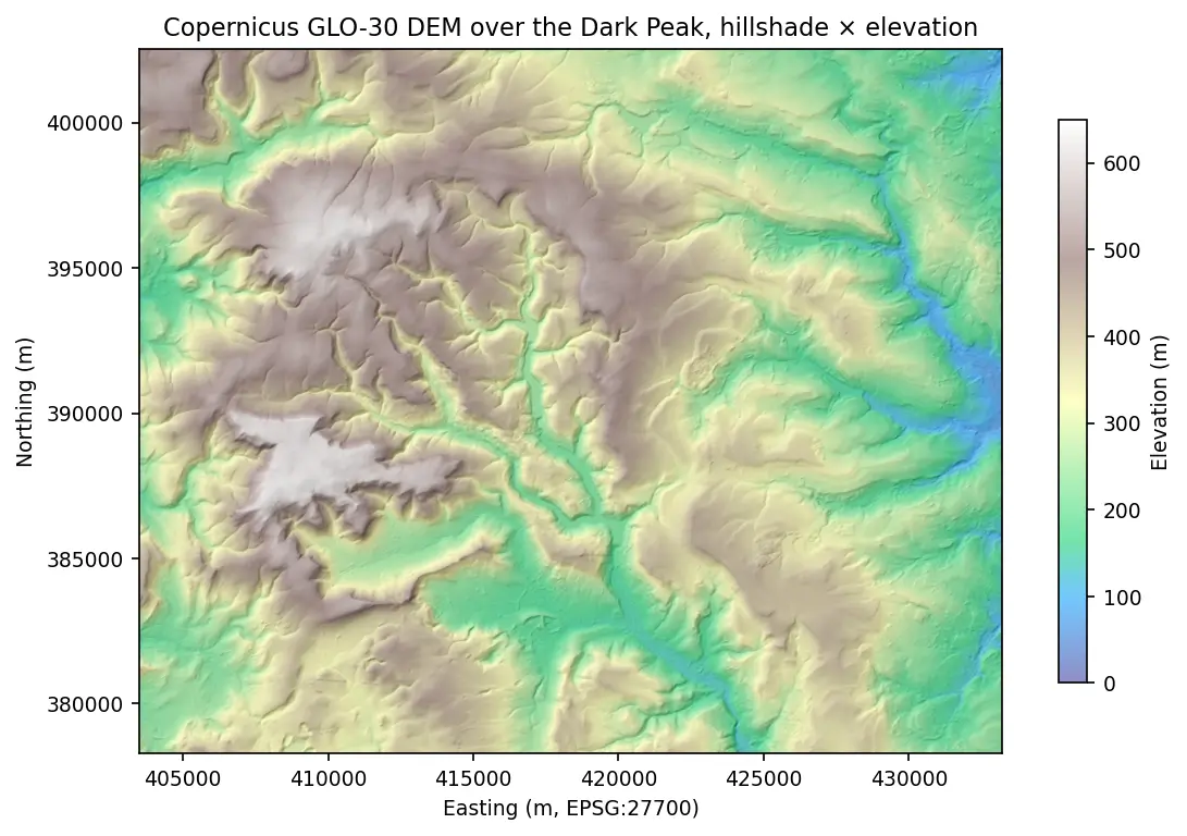
From DEM to 3D-printable STL with Python and NumPy

Stream a Copernicus 30 m DEM of the Edale valley, reproject it to British National Grid, scale it to a 150 mm print and write a watertight binary STL using only NumPy, with checks that prove the mesh is printable.
Intermediate 6 min read

Article ArcGIS Pro

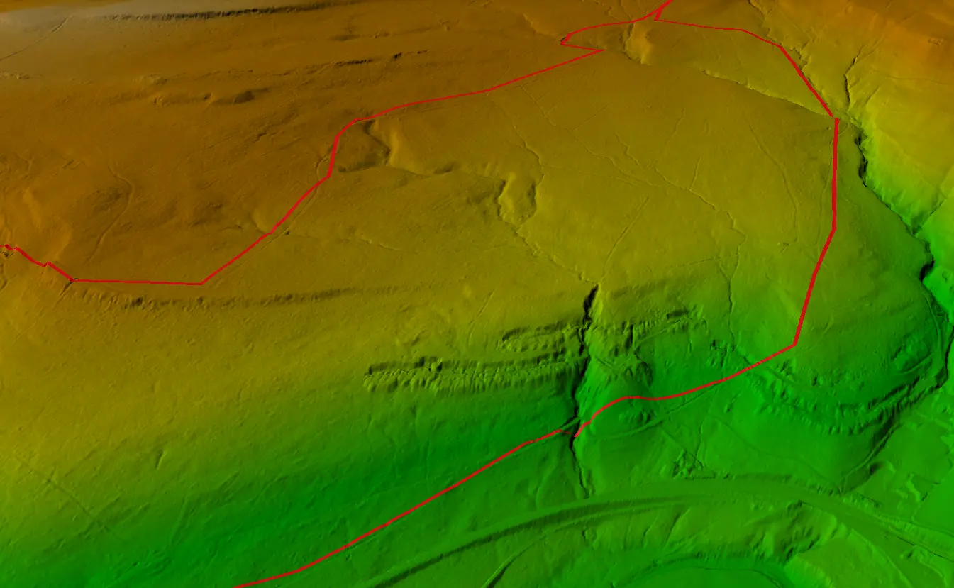
Visualising a Cycle Track in 3D

Turning a GPX track of the Wharncliffe Woods cycle route into a 3D scene and elevation profile in ArcGIS Pro.

1 min read