Spatial Analysis

Statistics that respect location: hot spots with Getis-Ord Gi*, spatial autocorrelation, kriging and fast vector overlays.

Tutorial Python

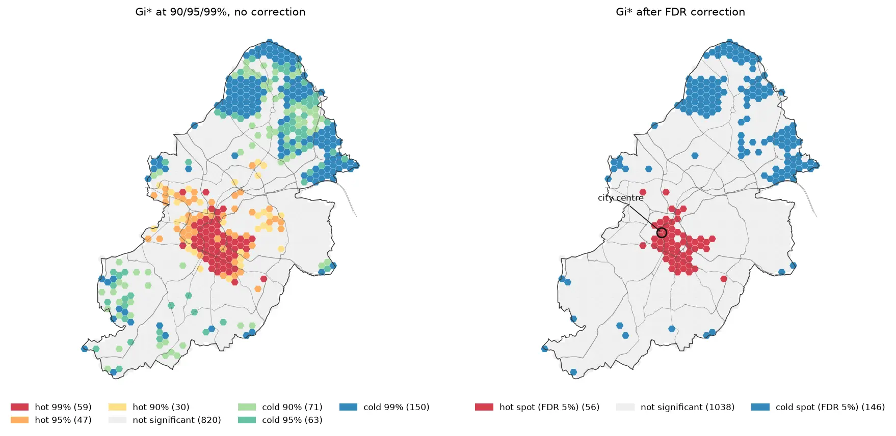
Hot spot analysis in Python: Getis-Ord Gi*, Moran's I and LISA on Birmingham road collisions

Run a hot spot analysis in Python with PySAL: aggregate 2025 STATS19 road collisions in Birmingham to a hexagon grid, test for clustering with global Moran's I, map Getis-Ord Gi* hot spots and LISA clusters with permutation inference and FDR correction, and see how spatial weights, the areal unit and exposure change the answer.
Intermediate 19 min read

Tutorial Python Part 2 of 2

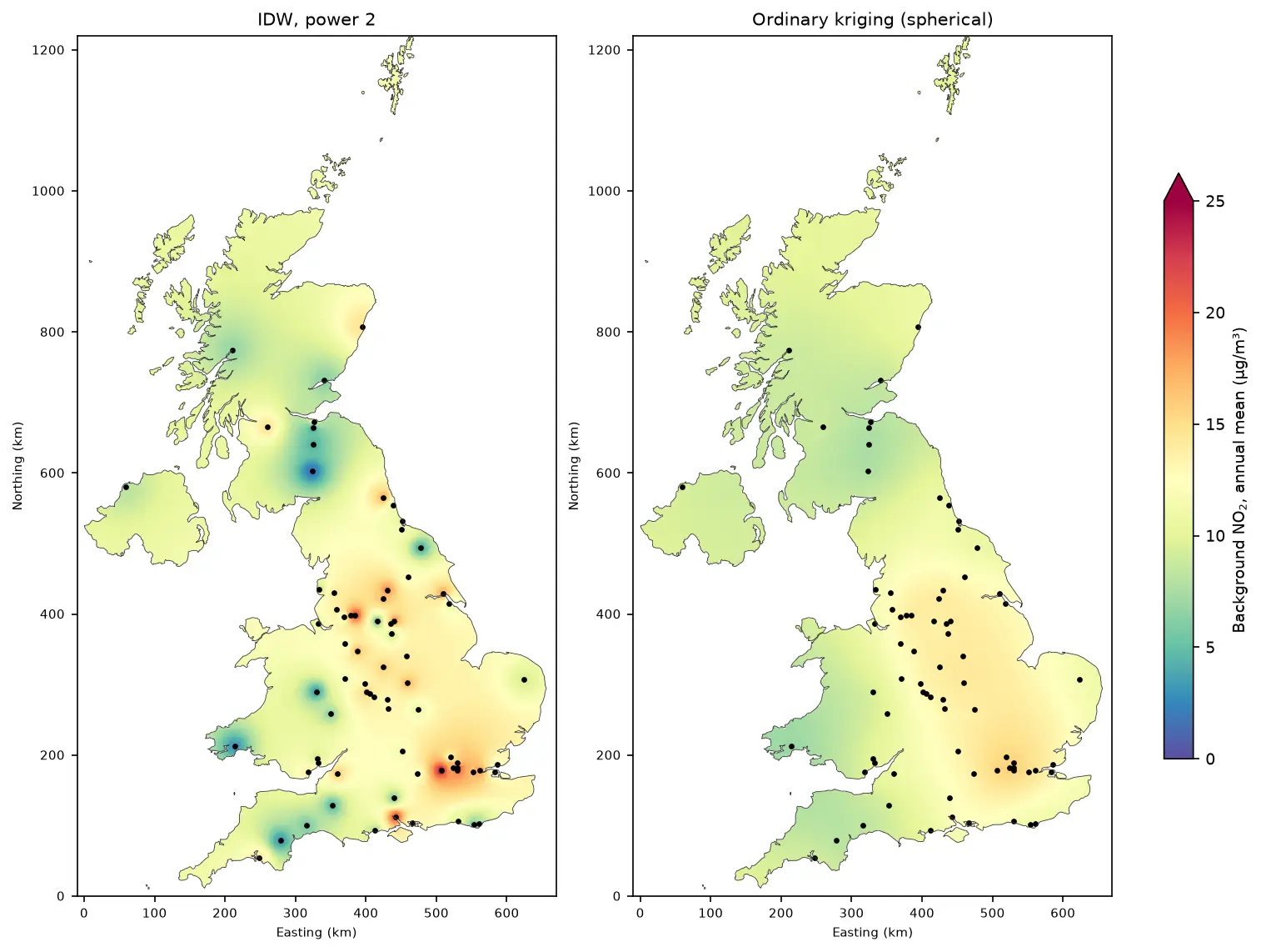
Kriging in Python with PyKrige: IDW vs ordinary kriging of UK NO₂ monitoring data

A practical spatial interpolation tutorial in Python: download real 2025 NO₂ annual means from the UK AURN network, fit spherical, exponential and Gaussian variograms, run ordinary kriging with PyKrige, compare it with inverse distance weighting, score both with leave-one-out cross-validation, map the kriging variance and add Sentinel-5P satellite NO₂ as a covariate.

Intermediate 16 min read