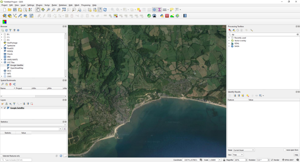
Screenshot showing a Google Satellite basemap loaded using an area of interest on the south coast of England.
Since the upgrade to QGIS3, the OpenLayers plugin is no longer available to install.
To provide basemaps such as Google Maps, Google Satellite or OpenStreetMaps layers, simply connect to the correct Tile Map Service (TMS) according to your basemap requirements.
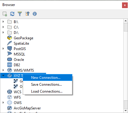
From the Browser panel, right click on ‘XYZ Tiles’ and select ‘New Connection’.
XYZ Tiles ‘New Connection’
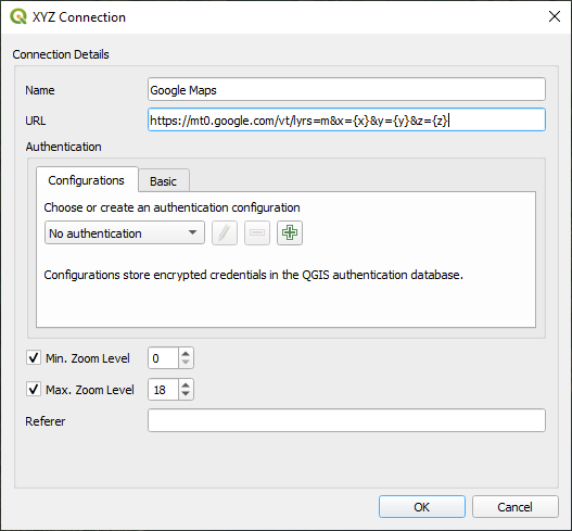
Add Google Maps to XYZ Tiles
A list of available Tile Map Services is available below:
Google Maps: https://mt0.google.com/vt/lyrs=m&x={x}&y={y}&z={z}
Google Satellite: https://mt0.google.com/vt/lyrs=s&x={x}&y={y}&z={z}
Google Satellite Hybrid: https://mt0.google.com/vt/lyrs=y&x={x}&y={y}&z={z}
Google Terrain: https://mt1.google.com/vt/lyrs=t&x={x}&y={y}&z={z}
Google Terrain Hybrid: https://mt1.google.com/vt/lyrs=p&x={x}&y={y}&z={z}
Google Roads: https://mt1.google.com/vt/lyrs=h&x={x}&y={y}&z={z}
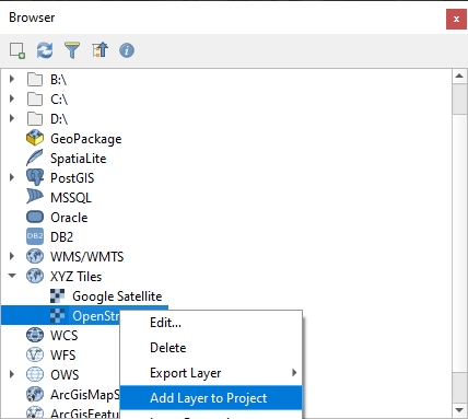
Once the respective Tile Map Services are add to XYZ Tiles, simply right click on ‘XYZ Tiles’ and the chosen TMS in the Browser and select ‘Add Layer to Project’, as below.
Screenshot of the XYZ Tiles right click context menu.
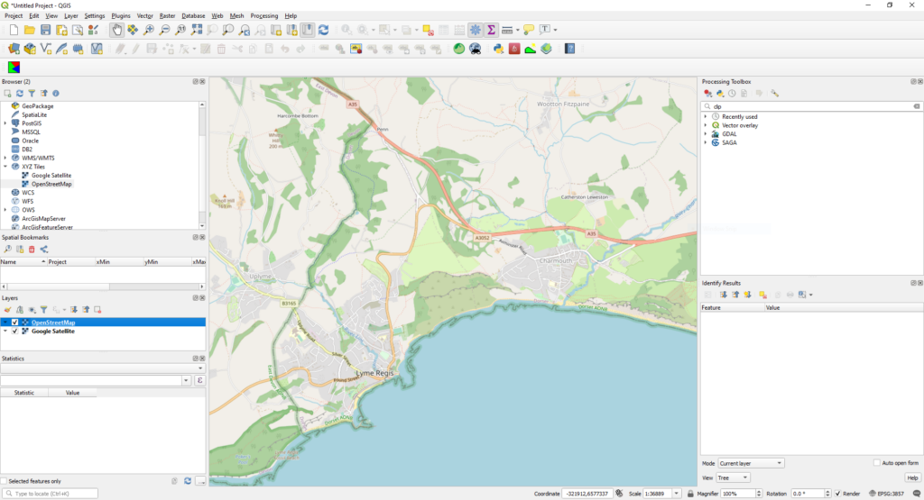
Finally, the selected TMS should now be available in the Layers panel, as well as being displayed in the Map panel.
Screenshot showing an OpenStreetMaps basemap located in an area on the south coast of England.
We use cookies on our website to give you the most relevant experience by remembering your preferences and repeat visits. By clicking “Accept All”, you consent to the use of ALL the cookies. However, you may visit "Cookie Settings" to provide a controlled consent.
This website uses cookies to improve your experience while you navigate through the website. Out of these, the cookies that are categorized as necessary are stored on your browser as they are essential for the working of basic functionalities of the website. We also use third-party cookies that help us analyze and understand how you use this website. These cookies will be stored in your browser only with your consent. You also have the option to opt-out of these cookies. But opting out of some of these cookies may affect your browsing experience.
Necessary cookies are absolutely essential for the website to function properly. These cookies ensure basic functionalities and security features of the website, anonymously.
Cookie
Duration
Description
cookielawinfo-checkbox-analytics
11 months
This cookie is set by GDPR Cookie Consent plugin. The cookie is used to store the user consent for the cookies in the category "Analytics".
cookielawinfo-checkbox-functional
11 months
The cookie is set by GDPR cookie consent to record the user consent for the cookies in the category "Functional".
cookielawinfo-checkbox-necessary
11 months
This cookie is set by GDPR Cookie Consent plugin. The cookies is used to store the user consent for the cookies in the category "Necessary".
cookielawinfo-checkbox-others
11 months
This cookie is set by GDPR Cookie Consent plugin. The cookie is used to store the user consent for the cookies in the category "Other.
cookielawinfo-checkbox-performance
11 months
This cookie is set by GDPR Cookie Consent plugin. The cookie is used to store the user consent for the cookies in the category "Performance".
viewed_cookie_policy
11 months
The cookie is set by the GDPR Cookie Consent plugin and is used to store whether or not user has consented to the use of cookies. It does not store any personal data.
Functional cookies help to perform certain functionalities like sharing the content of the website on social media platforms, collect feedbacks, and other third-party features.
Performance cookies are used to understand and analyze the key performance indexes of the website which helps in delivering a better user experience for the visitors.
Analytical cookies are used to understand how visitors interact with the website. These cookies help provide information on metrics the number of visitors, bounce rate, traffic source, etc.
Advertisement cookies are used to provide visitors with relevant ads and marketing campaigns. These cookies track visitors across websites and collect information to provide customized ads.