LiDAR point clouds in Python with laspy: from a LAZ file to a DTM, DSM and canopy height model
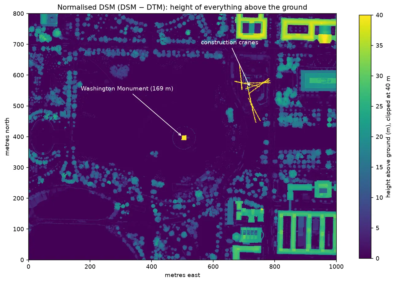
Stream free USGS 3DEP lidar of Washington, D.C., read and inspect a LAZ file with laspy, remove noise, grid the points into a 1 m DTM, DSM and canopy height model, and use the result to measure the Washington Monument to within 44 cm.