Terrain analysis in Python: stream, clip and analyse a DEM with rasterio and rioxarray
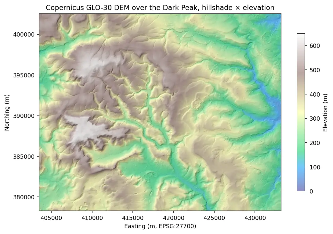
Read only the pixels you need from a cloud-hosted Copernicus DEM, reproject to British National Grid, derive hillshade, slope and aspect with NumPy, compute zonal statistics and draw an elevation profile — all in one script.