Fast vector geoprocessing in Python: spatial indexes, overlays and modern file formats
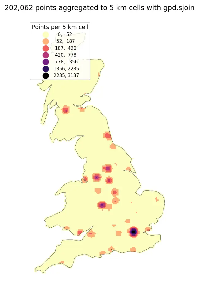
Benchmark point-in-polygon joins, buffers, overlays and dissolves on 200,000 points with GeoPandas and Shapely 2, see why spatial indexes give a 100x+ speed-up, and compare Shapefile, GeoPackage, FlatGeobuf and GeoParquet.