Getting started with GeoPandas: projections, spatial joins and choropleth maps
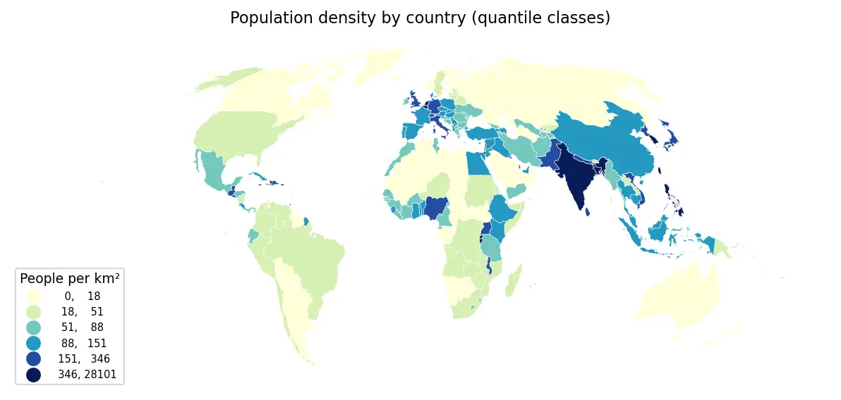
Load Natural Earth vector data with GeoPandas, reproject to an equal-area CRS, calculate population density, join cities to countries, dissolve to continents and draw publication-ready choropleths.