#Building footprints

2 posts

Tutorial Python

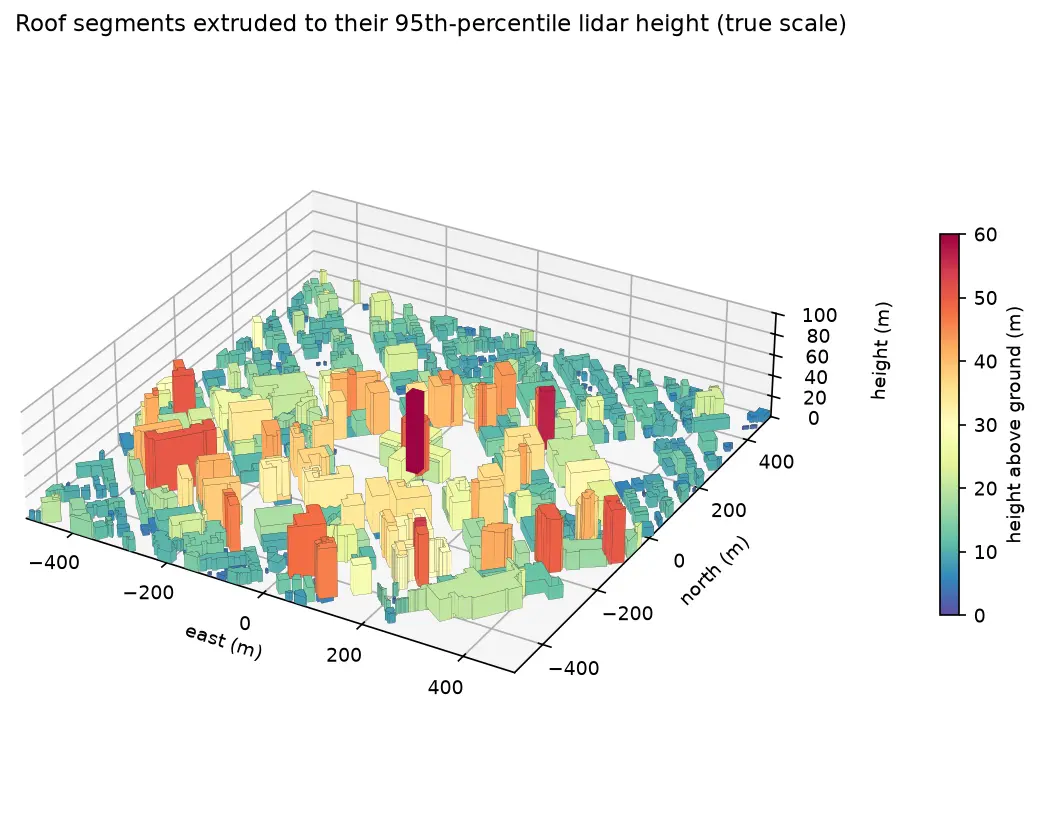
Extract building footprints and heights from LiDAR in Python (USGS 3DEP, downtown Madison)

Turn classified LiDAR into building footprints with heights in Python: stream USGS 3DEP COPC tiles, build a DTM and a building nDSM from ASPRS class 6 points, polygonise and regularise the mask, split roofs at height steps, compute height statistics per building, score the result against OpenStreetMap with IoU, and export a GeoPackage and a 3D view.
Intermediate 14 min read

Tutorial Python

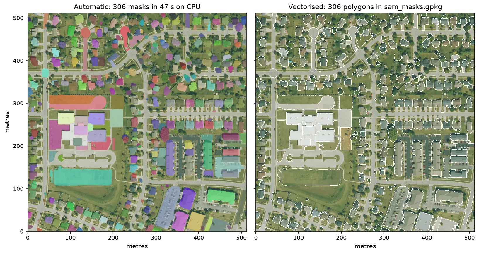
Segment Anything on satellite and aerial imagery in Python: a samgeo tutorial

Run Meta's Segment Anything Model on high-resolution aerial imagery with segment-geospatial (samgeo), on a CPU. Generate masks automatically, vectorise them to a GeoPackage, filter them by area, shape and NDVI to find buildings, and prompt SAM with points and boxes, checked against OpenStreetMap.

Intermediate 14 min read