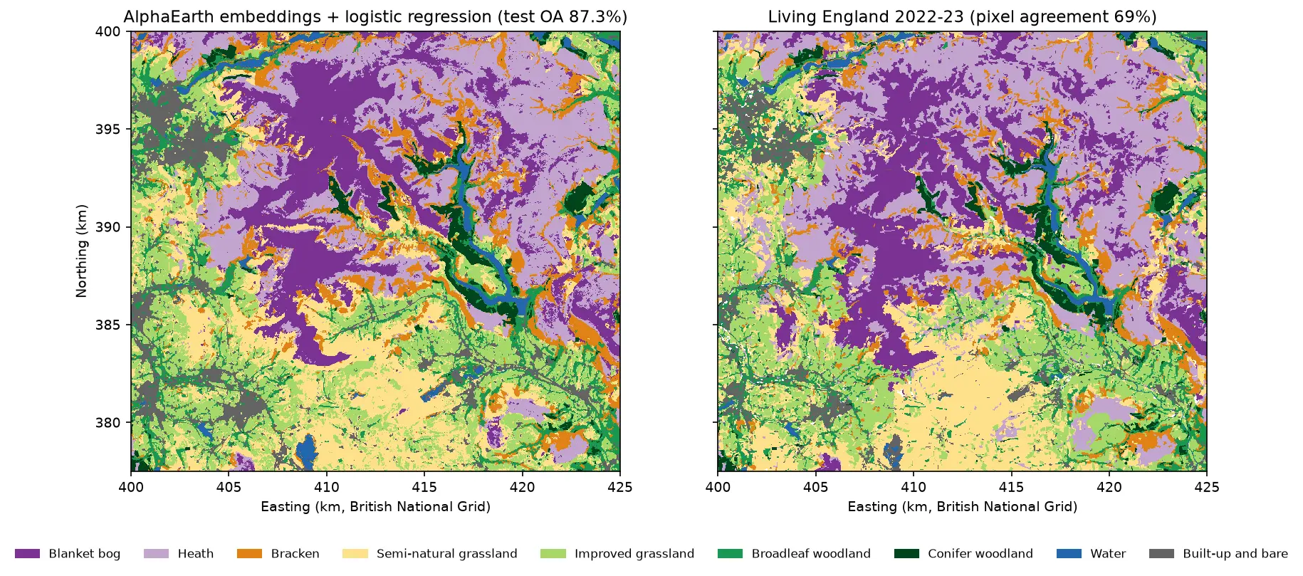
AlphaEarth satellite embeddings in Python: few-shot habitat mapping, uncertainty and area estimates
Use Google DeepMind's AlphaEarth Foundations satellite embeddings, a geospatial foundation model, in Python without a login. Classify nine Peak District habitats with a linear model, compare a few-shot learning curve against raw Sentinel-2 bands, map uncertainty, check calibration, simulate active learning, and estimate habitat areas with confidence intervals from a stratified random sample (Olofsson et al. 2014).