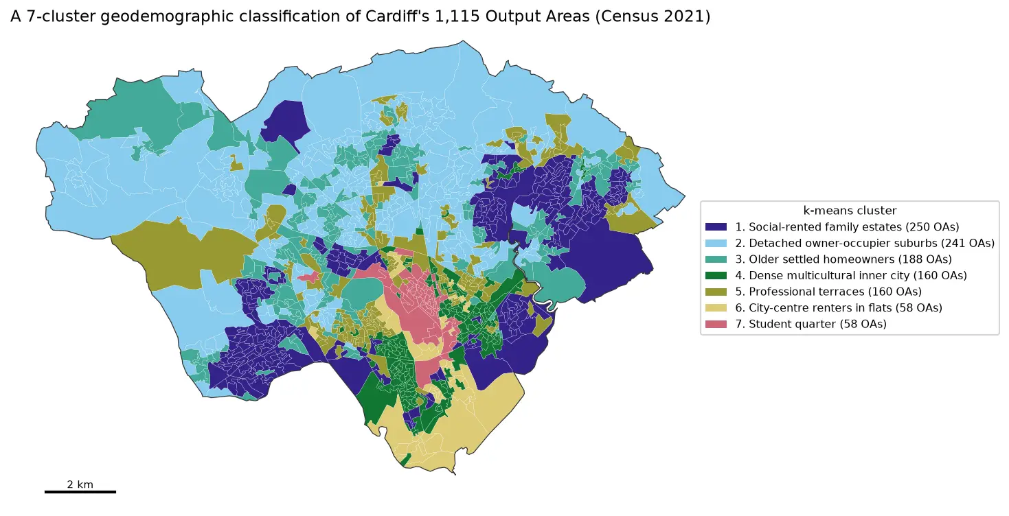
Geodemographic classification in Python: k-means on Census 2021 Output Areas, and SKATER and max-p regionalisation
Build a small geodemographic classification of Cardiff's 1,115 Census 2021 Output Areas in Python: choose and transform variables from Nomis bulk tables, standardise them, check correlations, choose k for k-means with the elbow, silhouette and stability across seeds, profile and cautiously name the clusters with index scores and radar charts, compare the result with the official 2021/2 OAC, test the MAUP at LSOA level, and contrast it with contiguous regions from spopt's SKATER and max-p.