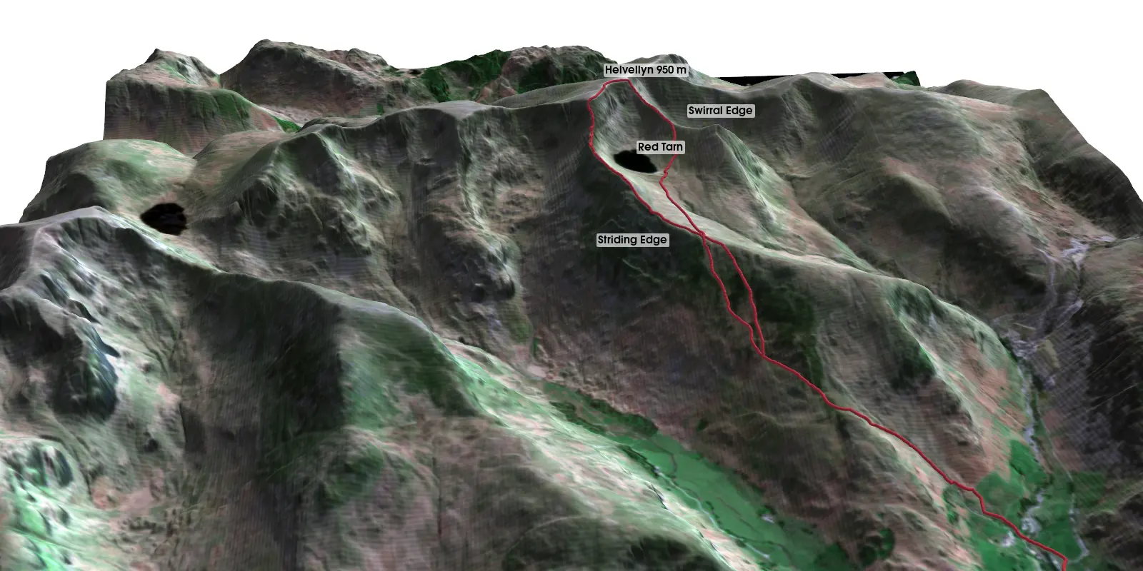
3D terrain visualisation in Python with PyVista: Helvellyn from LIDAR, Sentinel-2 and a GPX route
Make a 3D terrain map in Python with PyVista. Turn an Environment Agency LIDAR DEM into a StructuredGrid, drape a Sentinel-2 image on it, compare vertical exaggeration and lighting, drape a GPX route over Striding Edge, and render off-screen to PNG and a rotating MP4 on Windows, macOS or Linux.