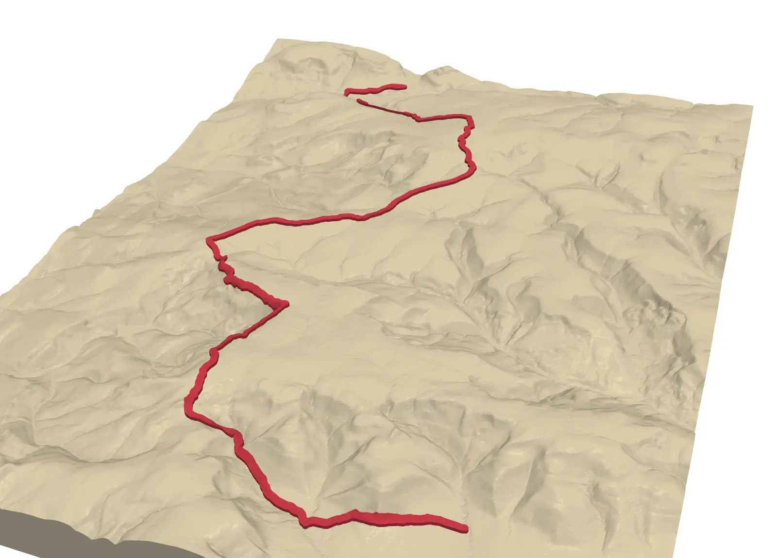
Emboss a GPX route on 3D-printed terrain with Python: raised, engraved or two-colour inlay
Turn a GPX track into a printable terrain model: the Pennine Way from Edale to Crowden, draped on Environment Agency LiDAR, with the route raised, engraved, or printed as a separate colour inlay. Every STL is proved watertight before it is written.