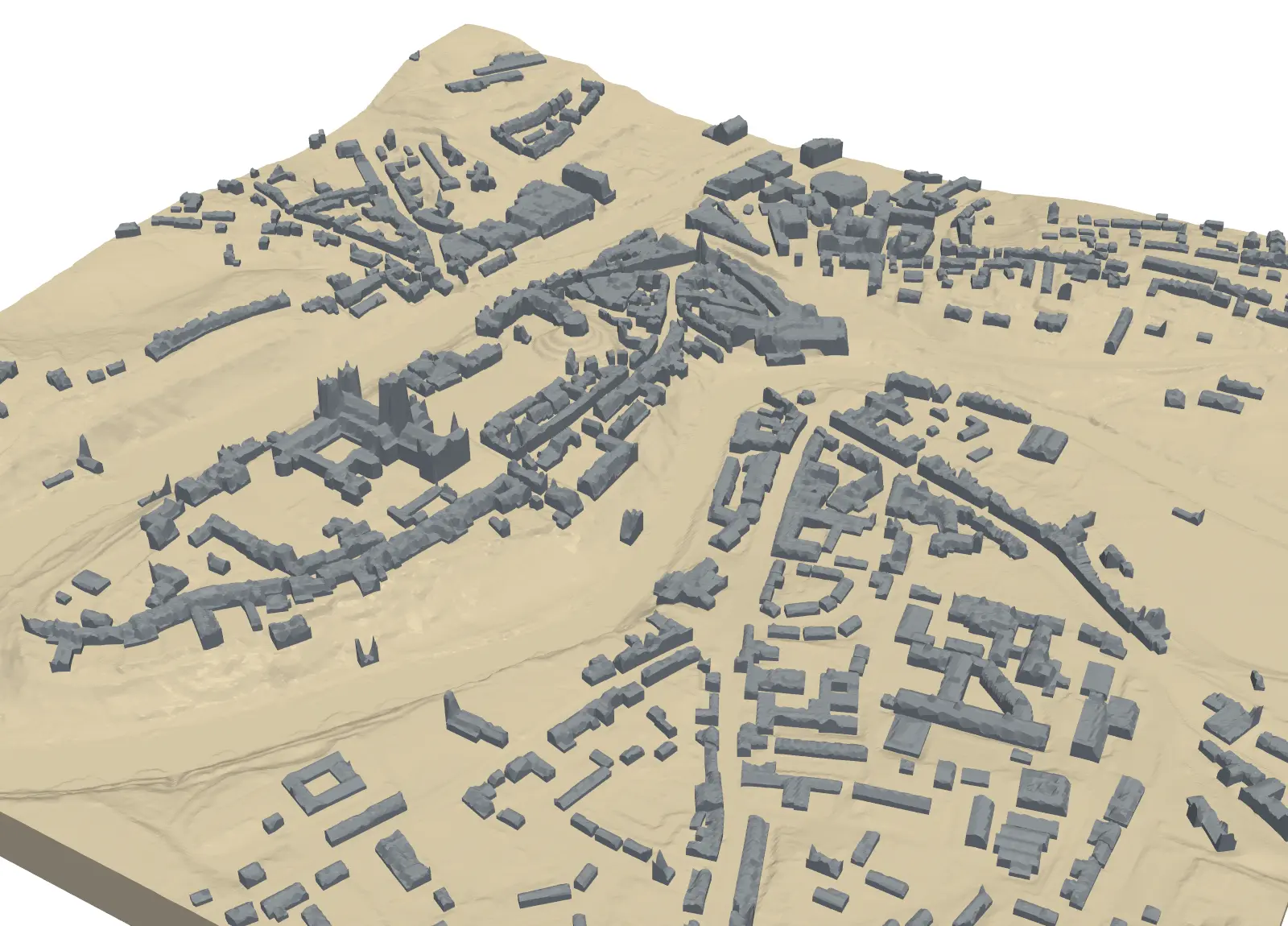
3D print a city model with Python: OpenStreetMap buildings on Environment Agency LiDAR
Build a printable model of central Durham from OpenStreetMap footprints and LiDAR heights. Give every building a roof height, or shape the roofs from the surface model, remove detail too thin to print, and prove the city and its two-colour parts are watertight.